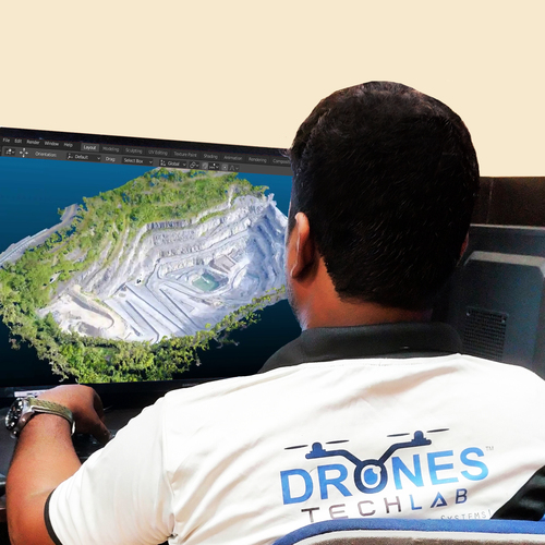
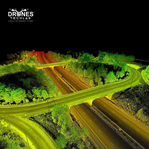
Even though traditional methods are known to deliver accurate databases, with drones you get the best quality and highly accurate datas, that too within a fraction of time. This substantially reduces the workload of specialists working on the field, as well as the expenses of a site. For educated decisions to be taken one need to utilize these 3D drones to gain valuable insight during mapping. This makes the process sustainable and efficient as well as accurate.
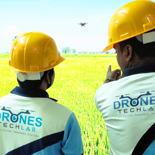
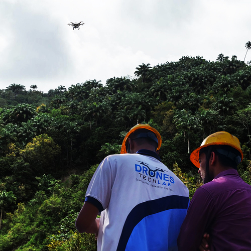
Thus, for many organizations, sectors and industries 3D mapping could be a huge help that helps in their sustainability. These drones come with photogrammetric software, hence the images captured by the UAVs are known to provide precise measurements, surveying without physically stepping foot on the land, and monitoring landscapes.
 Send Inquiry