The GPS technology installed in the drones creates a digital representation of the data collected. The cameras mounted on the top provide you with the perfect images. This in turn helps the professional surveyors to build and execute a great number deliverables on time for their client.
˜€
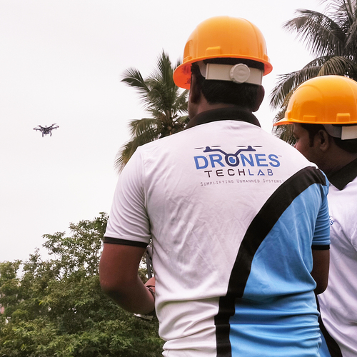
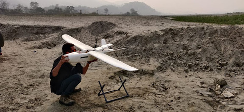
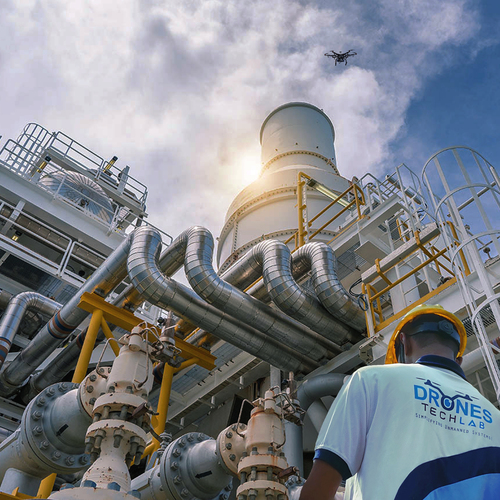
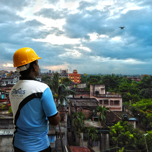
Sending out teams to dangerous areas or terrains can be life-threatening. Hence, drones can be flown to scan difficult landscapes, dangerous environments and ice locations, thus creating a safer environment for all.
It reduces costs by capturing data safely and faster
When done physically and manually, a survey takes up lots of time. With drones you do it within a fraction of second.
Since drones are constantly recording and scanning innumerable measurements, combining it with traditional data will yield accurate and precise data.
 Send Inquiry