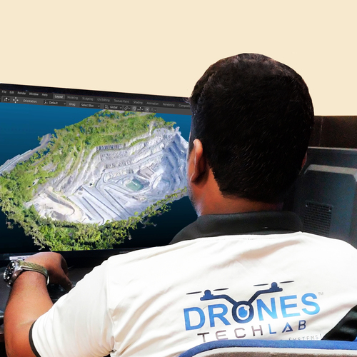
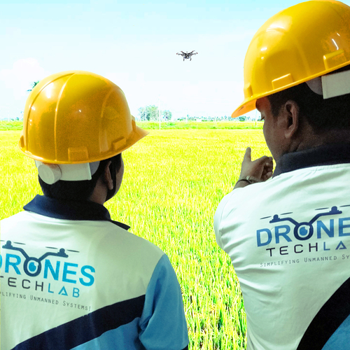
About Drone based 3d mapping
Even though traditional methods are known to deliver accurate databases with drones you get the best quality and highly accurate datas that too within a fraction of time This substantially reduces the workload of specialists working on the field as well as the expenses of a site For educated decisions to be taken one need to utilize these 3D drones to gain valuable insight during mapping This makes the process sustainable and efficient as well as accurate
Thus for many organizations sectors and industries 3D mapping could be a huge help that helps in their sustainability These drones come with photogrammetric software hence the images captured by the UAVs are known to provide precise measurements surveying without physically stepping foot on the land and monitoring landscapes
Minimizing survey costs
Reducing field time
Providing exhaustive and accurate data
Difficult and inaccessible areas are mapped
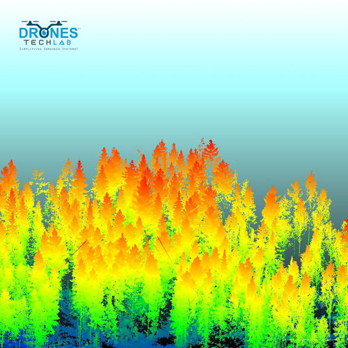
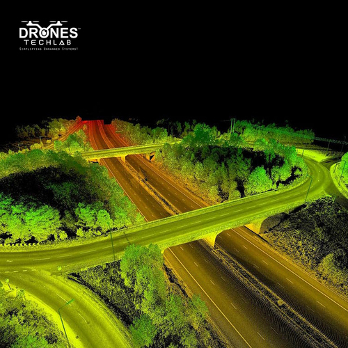
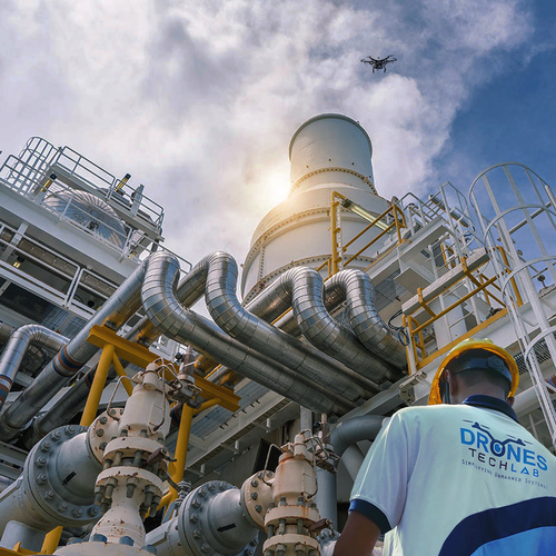
Advanced Mapping TechnologiesIntegrate high-resolution 20 MP imaging and accurate positioning via GPS/GLONASS/RTK for detailed 3D models, point clouds, and orthomosaics. Automated flight path planning and live HD streaming make missions easier to execute, while real-time data transmission accelerates project workflows for professionals in construction, surveying, and mining.
Robust Performance, Smart DesignConstructed from high-strength carbon fiber, the drone is engineered for durability and efficient operations. With a maximum flight time of 30 minutes per battery and a wind resistance of up to 25 km/h, it performs reliably in tough environments. The quadcopter's multi-directional obstacle avoidance enhances safety and mission success.
User-Friendly Operation and CompatibilityOutfitted with an integrated LCD controller, the drone offers intuitive controls and seamless operation. Over-the-air firmware upgrades, onboard SD card storage, and compatibility with industry-standard software, such as Pix4D, DroneDeploy, and Agisoft Metashape, ensure effortless integration into existing workflows.
FAQ's of Drone based 3d mapping:
Q: How does drone-based 3D mapping with real-time data transmission work?
A: This drone captures high-resolution images and geospatial data during flight using onboard sensors and cameras, transmitting data in real time to operators via an integrated LCD controller and HD live view. The captured information is used to produce accurate 3D models, orthomosaics, and other mapping outputs.
Q: What process should I follow to plan and execute a mapping mission?
A: Use the automated flight path planning feature to set mission parameters, specifying area coverage, altitude, and overlap settings. The drone's software handles flight execution, while real-time data transmission and obstacle avoidance ensure an efficient and safe mapping process from takeoff to data collection.
Q: Where can this drone be effectively used?
A: This drone is ideal for applications in surveying, construction, land development, mining, and urban planning. Its high mapping accuracy and rugged design enable accurate results over various terrains and conditions, operating at altitudes up to 400 feet and in temperatures from -10C to 45C.
Q: What are the key benefits of using this mapping drone for my projects?
A: Key benefits include rapid, precise 3D mapping with up to 2 cm accuracy, streamlined data collection with real-time transmission, and compatibility with industry-leading software. Its robust design and obstacle avoidance improve safety and mission reliability in demanding field environments.
Q: How do I store and access the mapping data collected?
A: All data collected during flight can be stored on an onboard SD card (up to 128 GB) or transmitted in real-time to the ground controller. Data outputs are generated in formats like orthomosaics, point clouds, and 3D models, which can be directly imported into popular mapping software for processing.
Q: When should I consider weather and battery factors before deployment?
A: Check weather conditions to ensure they meet the drone's IP43 resistance and wind resistance limits (up to 25 km/h). Each battery provides up to 30 minutes of flight, with a charging time of approximately 90 minutes per battery, making it important to plan missions accordingly for uninterrupted operation.
Q: What usage or maintenance is required to keep the drone at peak performance?
A: Regularly update the firmware over the air, inspect rotors and sensors for debris, and ensure batteries are properly charged and maintained. After each flight, review data integrity, clean external surfaces, and store equipment in a dry, temperature-controlled environment for longevity.


 Send Inquiry
 English
 Spanish
 French
 German
 Italian
 Chinese (Simplified)
 Japanese
 Korean
 Arabic
 Portuguese