About Industrial survey using drones
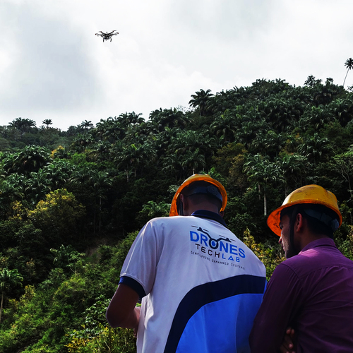
Though there is an excitement around Drones, many are unaware of its multiple uses. For the last few years, surveying companies have been constantly being challenged to raise their efficiency. Though technology has to some extent satiated the growing demands, it is the use of drones that help create these efficiencies in a structured and detailed manner.
Drones provides the surveyor with varied options that can range from reducing man-hours to 60 % to processing the data. With highly skilled technology operators, monitoring a drone becomes quite easier.
3D mapping
Photogrammetry
Topographic surveying
Land surveys
Can be flown over difficult terrains
Incredible accurate data
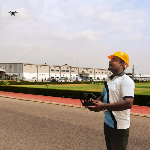
Autonomous and Manual Drone Survey OptionsOur survey drones support fully autonomous missions for efficient large-area coverage, as well as manual operation for complex or sensitive tasks. This dual mode ensures flexibility in various industrial environments, whether the focus is speed or precision control.
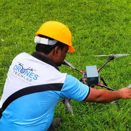
Reliable Performance and High EnduranceEach drone boasts up to 60 minutes of flight time per mission, powered by rechargeable Li-ion batteries. This exceptional endurance, combined with rapid deployment capabilities, enables coverage of extensive industrial sites with minimal downtime.
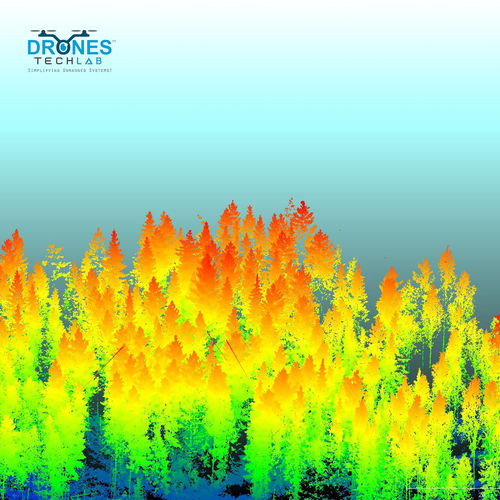
Advanced Data Security and ProcessingAll survey data is encrypted during transmission and storage to maintain confidentiality. Advanced post-processing options include photogrammetry, digital elevation models, and 3D point clouds, compatible with leading GIS and CAD platforms, streamlining analysis and reporting.
FAQ's of Industrial survey using drones:
Q: How are industrial drone surveys conducted by your team?
A: Our certified pilots and surveyors deploy drones on-site or remotely, depending on project needs. We utilize both autonomous and manual flight modes to efficiently capture data over large or hazardous industrial locations, ensuring both coverage and safety.
Q: What types of data outputs can I expect from your drone surveys?
A: You will receive high-definition imaging (up to 4K Ultra HD), detailed 3D mapping, and accurate digital models such as point clouds and digital elevation models. These outputs are compatible with standard GIS and CAD software for further analysis and planning.
Q: When is it suitable to use drone-based surveys for industrial applications?
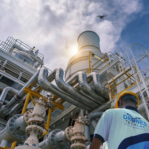
A: Drone surveys are ideal for rapid data acquisition on large, complex, or hazardous industrial sites. Whether you need regular interval monitoring or on-demand surveys, our drones provide fast, safe, and precise results-even in outdoor environments with mild adverse weather.
Q: Where can your drone survey services be deployed?
A: We operate across India and can deploy to virtually any industrial site, including locations that are hazardous or difficult to access on foot. Our flexible deployment model supports both on-site and remote survey operations, tailored to your project's requirements.
Q: What is the process from data collection to final delivery?
A: After the initial consultation, our team conducts aerial surveys using drones equipped with HD cameras, LiDAR, and other sensors. Raw data is encrypted, securely stored, and then processed to generate detailed reports, 3D models, and maps, all delivered via cloud or on-demand download.
Q: How does using drone surveys benefit industrial projects?
A: Drone-based surveys significantly reduce the need for on-ground manpower, enhance safety by minimizing exposure to hazardous areas, and speed up data acquisition. The accuracy and speed of drone-based methods enable faster decision-making and more efficient project progress.


 Send Inquiry

 English
 Spanish
 French
 German
 Italian
 Chinese (Simplified)
 Japanese
 Korean
 Arabic
 Portuguese