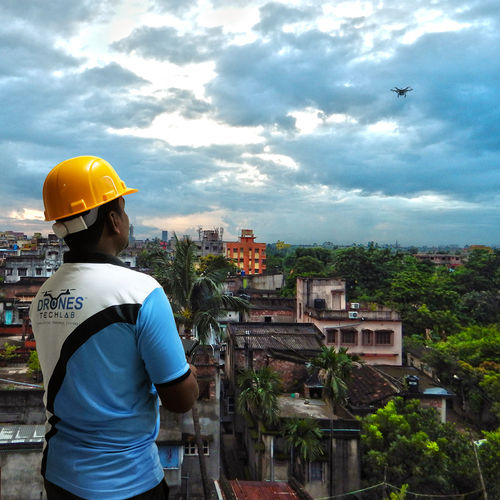
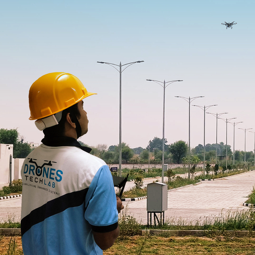
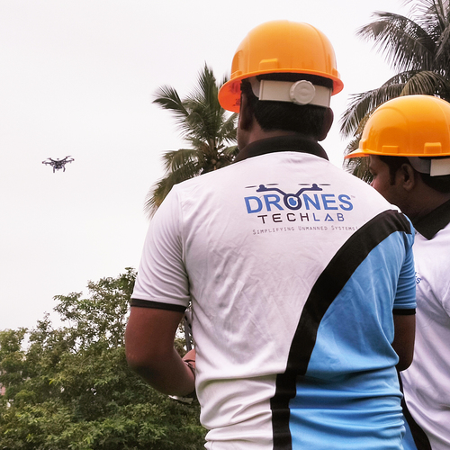
About Drone mapping for smart cities
The use of Drones has risen over the years since flying low enables you to get high-quality, precise and sharp images. This yields a collection of lots of high-quality data. As of now drones are being used for aerial inspection services, breathtaking photos and easing out many other complex tasks.
For building a smart city, Drones have become one of the most important aspects from sanitizing public spaces, to delivering medical supplies, drones have been instrumental in taking up pandemic awareness measures as well as in various rescue missions. With Drone technology, it becomes possible to map vast areas quickly and within stipulated time.
When used along with local intelligence, Drone technology can give accurate mapping, improve logistics, detailed data collection, in an efficient and timely manner, that helps to build up smart cities. Additionally, by adding geographical characteristics, Drones can help in the building and maintaining smart cities with the inclusion of graphical characteristics in the data mapping
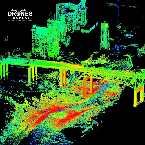
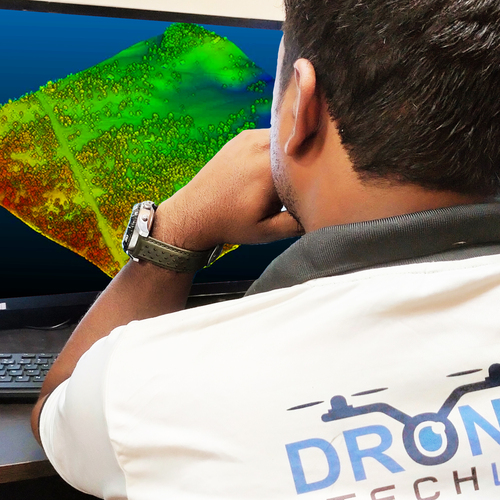
Transforming Urban Planning with UAV MappingDrone Mapping for Smart Cities brings unparalleled accuracy and efficiency to urban development projects, providing city planners and municipal authorities with high-resolution geospatial data. The ability to map extensive areas quickly aids in asset management and accelerates infrastructure projects, ultimately contributing to well-organized, data-driven urban growth.
Safety and Compliance in Drone OperationsOur drones are equipped with state-of-the-art obstacle avoidance sensors and auto return-to-home protocols, ensuring safe operations even in challenging urban environments. Remote pilots are required to hold certification according to local aviation regulations, safeguarding compliant and responsible drone deployment throughout India.
FAQ's of Drone mapping for smart cities:
Q: How does drone mapping benefit smart city planning and management?
A: Drone mapping delivers accurate, up-to-date geospatial data, enabling authorities to make informed decisions about infrastructure, traffic management, and urban development. The technology streamlines asset management and facilitates better planning for city expansion and maintenance.
Q: What is the process for conducting a drone mapping mission?
A: A certified remote pilot plans the mission using proprietary software, sets automated flight paths, and executes the survey at designated altitudes (50-500 meters AGL). Data is gathered in real-time and stored on a 128GB SD card, then processed into maps and models within 24-48 hours.
Q: Where can the drone mapping solution be deployed within a city?
A: This service can be used across multiple urban environments-including residential, commercial, industrial areas, and public infrastructure zones-for tasks like land surveying, utility inspection, asset tracking, and traffic monitoring.
Q: When is the best time to schedule drone mapping flights?
A: Optimal flight times are during daylight with favorable weather, although the drones can withstand light rain and moderate winds up to 25 km/h. This ensures maximum mapping accuracy and data quality.
Q: What types of data outputs are provided and how are they integrated?
A: Deliverables include orthomosaic maps, 3D models, and LiDAR point clouds, all of which are compatible with major GIS, CAD, and city management systems for seamless integration into existing urban planning workflows.
Q: Is remote pilot certification required to operate these drones?
A: Yes, operators must possess a valid remote pilot certification as specified by the local aviation authority in India. This ensures all operations adhere to regulatory standards for safety and compliance.
Q: How does real-time data transmission enhance urban mapping projects?
A: By utilizing 4G/5G connectivity, project teams can access survey data instantly, supporting rapid decision-making and dynamic adjustments to mapping tasks. This expedites project timelines and enhances situational awareness during the mission.


 Send Inquiry
 English
 Spanish
 French
 German
 Italian
 Chinese (Simplified)
 Japanese
 Korean
 Arabic
 Portuguese