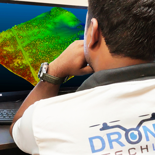
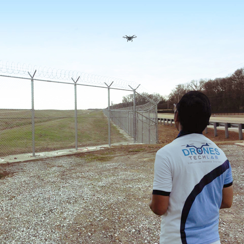
About LiDAR Based UAV Mapping
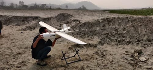
It is time to change your game plan of working things out in your organization. With UAV LiDAR mapping, you can get down to every minute detail, seeping through even foliage and brush. Used since the 1960s, it is the most accurate form to create models of digital elevation. Some forms can also be used to map terrain such as shallow lakes and riverbeds.
The mapping technology uses laser light of multiple pulses to determine the distance between the object and sensor. The light pulses travel extraordinarily quickly, while the sensors use the amount of time that these pulses take to be bounced back to find out how far the object is. Used in conjunction with advanced technology, LiDAR uses software solutions to determine the type of object, in addition to just elevation.A
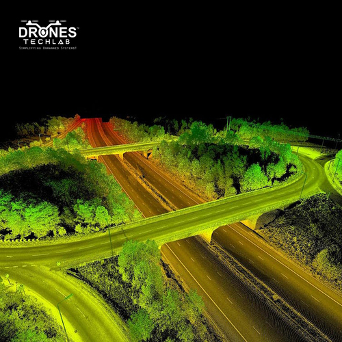
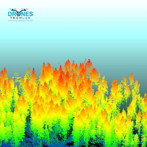
In addition to recording elevations, this technology can also be used to accurately identify things such as power lines, street lamps and even birds. They are also known to find out the difference between things such as one that is natural, or one that is man-made. This technology has found its uses in archaeology, geology, agriculture, and even law enforcement.
Comprehensive 3D Mapping CapabilitiesHarness the power of LiDAR-based UAV mapping for high-resolution terrain modeling, vegetation analysis, and infrastructure assessment. The 905 nm laser wavelength and up to 200 kHz scanning frequency generate dense point clouds, capturing minute topographic details even in complex environments. This robust data acquisition tool is ideal for engineering, urban planning, and environmental monitoring.
Flexible and Reliable Field OperationsEngineered for challenging outdoor conditions, this system offers IP54 protection from dust and splashes, and operates within a broad temperature range. With a powerful Li-ion battery and up to 40 minutes of flight time per charge, survey areas up to 1200 meters in range and 200 meters AGL efficiently. Real-time GNSS precision (RTK/PPK) ensures dependable accuracy in diverse field settings.
FAQ's of LiDAR Based UAV Mapping:
Q: How does LiDAR based UAV mapping provide high-accuracy surveying results?
A: The system integrates a multi-return LiDAR sensor with RTK/PPK-enabled GNSS and IMU, ensuring spatial data with up to 5 cm accuracy. Dense point clouds (up to 300 points/m2) and precise GNSS/IMU integration significantly enhance data fidelity for 3D mapping and topography.
Q: What makes this LiDAR UAV mapping solution suitable for various field conditions?
A: With an operating temperature range from -20C to +50C, IP54 dust and splash resistance, and wind resistance up to 10 m/s, the system is designed for reliable performance in diverse and demanding environments.
Q: When is it appropriate to use LiDAR based UAV mapping over traditional survey methods?
A: LiDAR UAV mapping is preferred when fast, large-area, or difficult-to-access terrain must be surveyed with high detail and accuracy, such as in forestry, infrastructure, flood modeling, or mining applications.
Q: Where can the data collected by the LiDAR based UAV be processed and analyzed?
A: Captured data is stored on removable SD card or SSD (up to 512GB) and is compatible with leading post-processing and mapping software. Outputs in LAS, LAZ, XYZ, DEM, and Orthophoto formats facilitate analysis in professional GIS and CAD platforms.
Q: What is the typical process workflow for using this LiDAR UAV system?
A: The workflow involves mission planning, UAV deployment, real-time data collection (using GNSS/IMU), safe landing and data transfer from SD/SSD, post-processing using supported software, and generating georeferenced outputs suitable for mapping and analysis.
Q: How does the Li-ion rechargeable battery benefit extended field usage?
A: Li-ion batteries offer up to 40 minutes of flight time per charge, enabling coverage of extensive areas in a single sortie. Rechargeability ensures reduced downtime and efficient field operations, supporting multiple flights per day.


 Send Inquiry

 English
 Spanish
 French
 German
 Italian
 Chinese (Simplified)
 Japanese
 Korean
 Arabic
 Portuguese