About Pan india uav mapping services
Brand- Drones Tech Lab
Modes- Auto Pilot
Camera Technique- Digital
Service Duration- Area wise
Accessible on Mobile- Yes
CAD supported- Yes
2D-3DMap- Yes
Looking for precise mapping that will give the exact datas to your business. Drones technology can be used for GIS Data surveying and also in mapmaking experience. They are known to continuously provide updates and comprehensive databases. The drone offers you the best solution for your organization in terms of best-in class data processing software and being cost effective.
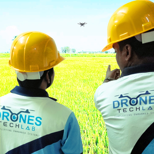
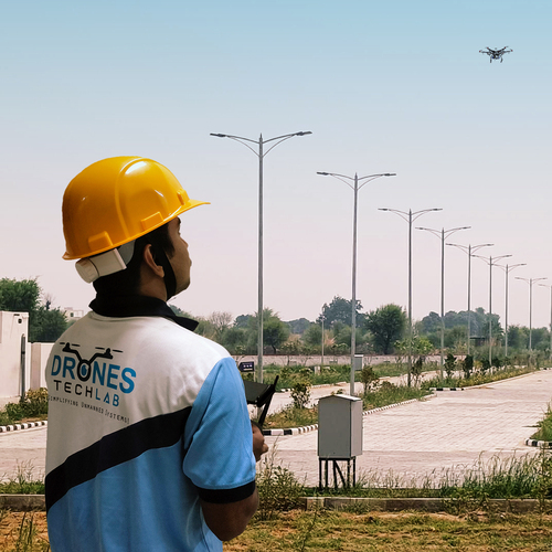
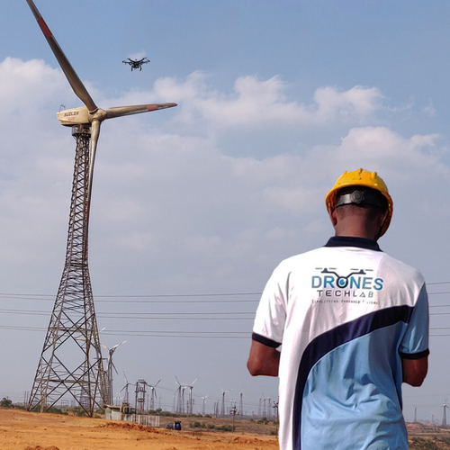
Comprehensive UAV Mapping Across IndiaOur UAV mapping services cover the entire nation, bringing professional-grade surveying capabilities to diverse sectors-including agriculture and infrastructure. By leveraging high-end drones, we deliver critical data to accelerate decision-making and enhance project outcomes.
High-Resolution Data and Multiple Output FormatsWe provide customizable data outputs such as high-resolution Orthomosaic maps, DEMs, DSMs, Point Clouds, and detailed 3D Models, all with resolution up to 2cm per pixel. Choose your preferred format for seamless integration into your workflows.
Rapid Turnaround and Flexible Delivery OptionsBenefit from project-specific survey timeframes and a fast delivery process. We deliver results digitally via cloud, FTP, or email, and also offer hard drive delivery for extensive datasets. On-site support can be arranged as required, ensuring complete assistance throughout.
FAQ's of Pan india uav mapping services:
Q: How does the UAV mapping process work for Pan India projects?
A: Our UAV mapping process begins with a detailed consultation and project planning phase. We deploy high-end drones to capture aerial data, then process the images using advanced software to create outputs like Orthomosaics, DEMs, DSMs, Point Clouds, and 3D Models. Data is reviewed for accuracy before secure delivery.
Q: What types of data output formats can I request and how will they be delivered?
A: You can request data in formats such as Orthomosaic, DEM, DSM, Point Cloud, and 3D Models. Delivery is flexible and can be made securely via cloud, FTP, email, or a physical hard drive, catering to your project size and requirements.
Q: When can I expect to receive the results for my mapping project?
A: Survey timeframes are tailored to each project and location, but our services are designed for fast turnaround. We prioritize quick data processing and delivery, so you typically receive results soon after project completion.
Q: Where are your UAV mapping services available within India?
A: Our services are available across the entirety of India. No matter your location or industry, we can provide on-site support and mapping solutions to meet your surveying needs.
Q: What are the common applications and industries served by your UAV mapping services?
A: We serve a wide range of industries including agriculture, construction, mining, real estate, infrastructure, and urban planning. Applications range from land surveys and crop monitoring to construction progress tracking and volumetric analysis.
Q: How is high data accuracy and resolution ensured during mapping?
A: We employ high-end professional UAVs and sophisticated processing software, enabling us to achieve resolutions up to 2cm per pixel. This ensures the data is reliable and precise, supporting high-accuracy decision-making for your projects.
Q: What are the main benefits of using UAV mapping over traditional survey methods?
A: UAV mapping offers high accuracy, rapid data collection, the ability to cover large areas quickly, and multiple digital output formats. This streamlines project workflows, reduces costs, and provides valuable insights faster than traditional methods.


 Send Inquiry
 English
 Spanish
 French
 German
 Italian
 Chinese (Simplified)
 Japanese
 Korean
 Arabic
 Portuguese